Each spring semester, seniors in the Environmental Informatics major work together on a project where they use the skills they have acquired throughout their degree program to help a client or partner develop a solution to their needs related to environmental data. We are always looking for new partners and/or projects. If you have an idea, or think our capstone students could help you out, please send me an e-mail at jpgannon at vt.edu.
2021 Senior Capstone Project – Hubbard Brook Real Time Hydrology Monitoring and Soil Respiration/Litter Fall for the MELNHE Project

Students in the 2021 Capstone class developed a suite of web apps, using the programming language R, to help scientists from the Hubbard Brook Experimental Forest visualize and analyze two different datasets. Two groups worked on different ways to visualize data from real-time monitoring stations measuring a variety of hydrologic variables, and another group worked with soil respiration and litter fall data from the MELNHE project. Click here to see the slideshow from students’ final presentation about the project and their apps, complete with video demos of the apps.
*There is a large amount of data linked to each app, please give them a minute to load
*Each app includes a user guide, which can be accessed by clicking a button on the main interface.
*Each app includes a link to a github repository, where you can find the code used to make the app
The MELNHE App
Developers: Marley Gilliam, Emily Bess, Macauley Parker, Jacob Kwak
Purpose: This app allows users to visualize data from the MELNHE project: https://www.esf.edu/melnhe/ in a variety of ways.
Real-time Water Storage Estimation
Developers: Alison Walters, Sam Lausten, Michelle Uchitel
Purpose: This app estimates water storage is different places in watersheds at the Hubbard Brook Experimental Forest using a variety of streamed real-time data.
Real-time Visualization App
Developers: Brendan Spillare, Morgan Wood, Zach Silvasy, Caleb Coleman
Purpose: This app allows the user to visualize several real-time data streams from two watersheds at Hubbard Brook in a variety of ways.
2020 Senior Capstone Project – Hubbard Brook Groundwater Wells

Students in the 2020 Capstone class developed a suite of web apps, using the programming language R, to help scientists from the Hubbard Brook Experimental Forest visualize and analyze a large groundwater well dataset from an experimental watershed. The class was broken up into 3 groups, with each group developing their own app to address a specific set of needs. The apps are linked below. Click here to see the slideshow from students’ final presentation about the project and their apps, complete with video demos of the apps.
*There is a large amount of data linked to each app, please give them a minute to load
*Each app includes a user guide, which can be accessed by clicking a button on the main interface.
*Each app includes a link to a github repository, where you can find the code used to make the app
The Map App
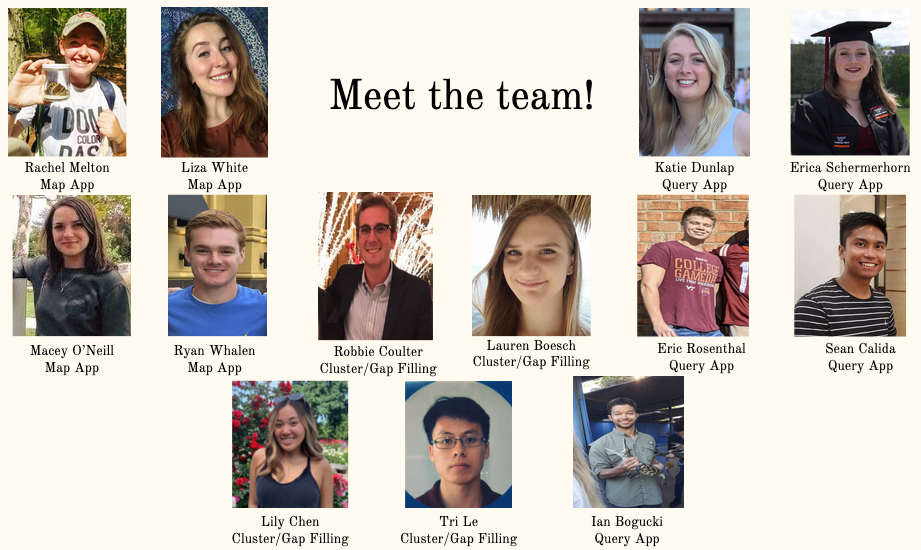
Developers: Macey O’Neill, Rachel Melton, Liza White, Ryan Whalen
Purpose: This app allows the user to select which groundwater wells to view based on a map of the watershed. Users can click the wells they would like to see, show different topographic data on the map, and zoom in on the data by clicking and dragging a window over their desired timeframe.
The Query App
Developers: Sean Calida, Erica Schermerhorn, Eric Rosenthal, Katie Dunlap, Ian Bugocki
Purpose: This app allows the user to narrow down their selection of wells based on a variety of criteria. Users can then select which part of the time series they want to see by clicking and dragging a box over the data.
The Gap Filling App
Developers: Tri Le, Robert Coulter, Lily Chen, and Lauren Boesch
Purpose: This app allows the user to create synthetic data to fill gaps in the water level record of wells. The group performed a cluster analysis to determine what wells were good matches to use for the gap filling. The user can choose the well that needs a gap filled, the well used to fill the gap, and the method of interpolation. They can then download a gap-filled dataset.
